
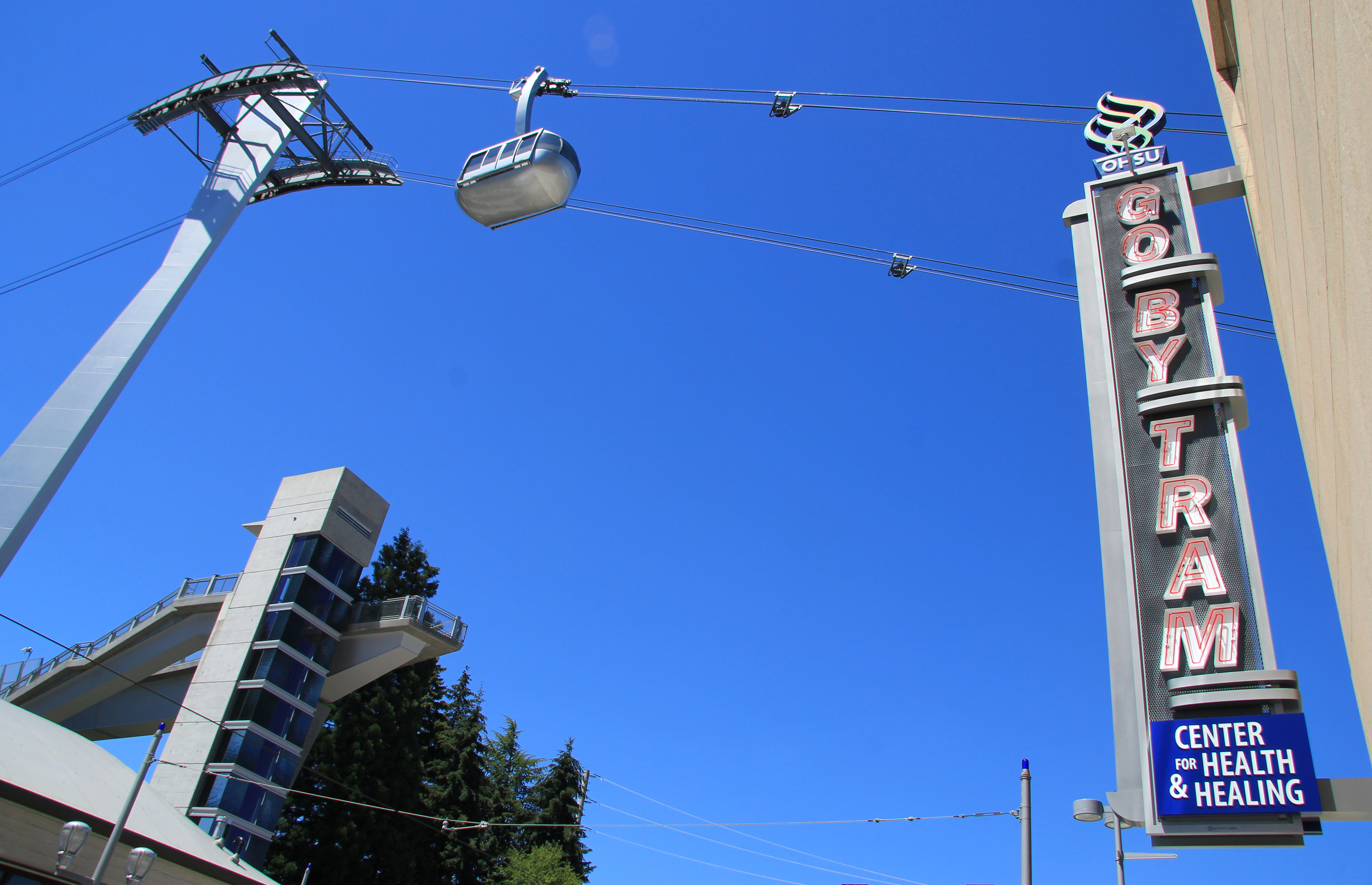
Portland Aerial Tram connects Portland’s South Waterfront and Marquam Hill. What to know:
Traveling to the Tram
Purchasing fare
wHEN TO RIDE
The ride experience
between rides
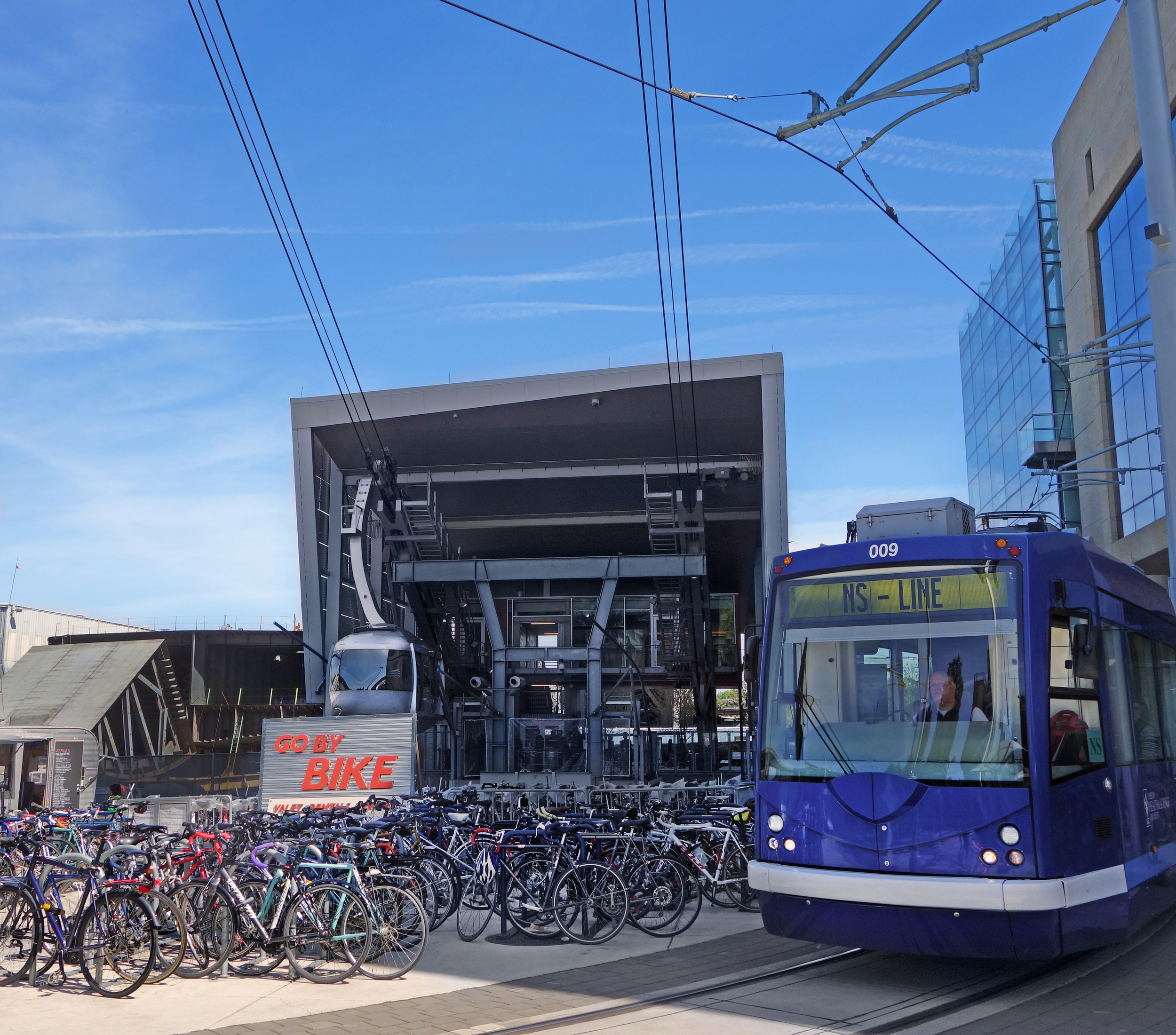
Traveling to the Tram
South Waterfront Tram Terminal is your recommended point of entry. The waterfront terminal is connected by light rail, streetcar, bus, walk and bike paths, and bike share.
Driving requires paying for parking at a nearby facility or on street. Traffic congestion is common in this area.
Purchasing Fare
Fare may be purchased onsite or online and does not sell out. Fare is required at both terminals and valid for a roundtrip through the end of the operating day. No discounts are offered.
Purchase fare
Groups and tours and related discounts are not provided by Portland Aerial Tram. For self-guided tours, learn about the Tram’s history and how it operates:
Learn More
When to ride
Avoid rush hour if possible. The Tram is a popular option for people commuting to work and school. As a result, nearby streets as well as the Tram may become crowded weekdays, 7am to 9am and 4pm to 6pm.
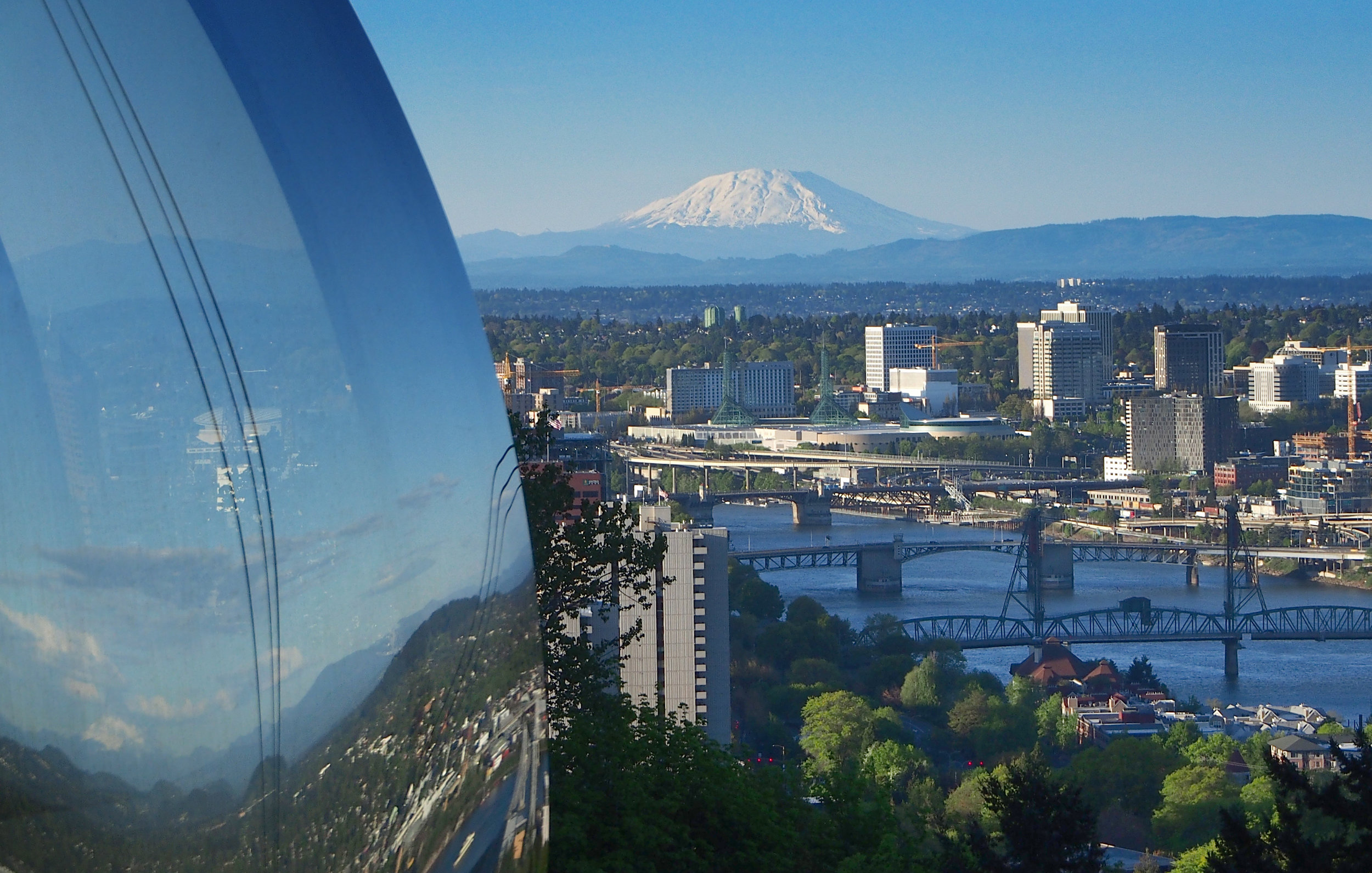
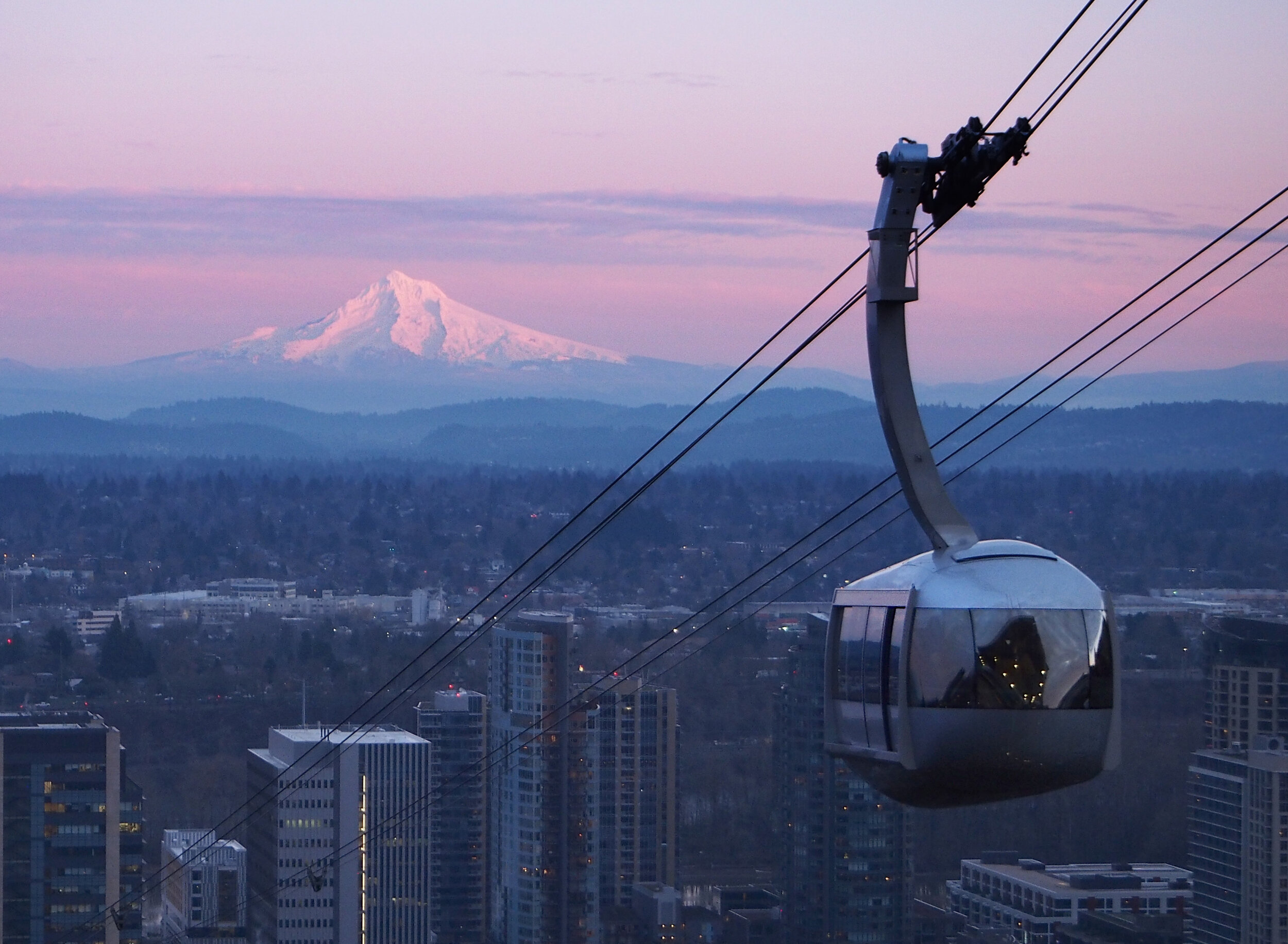
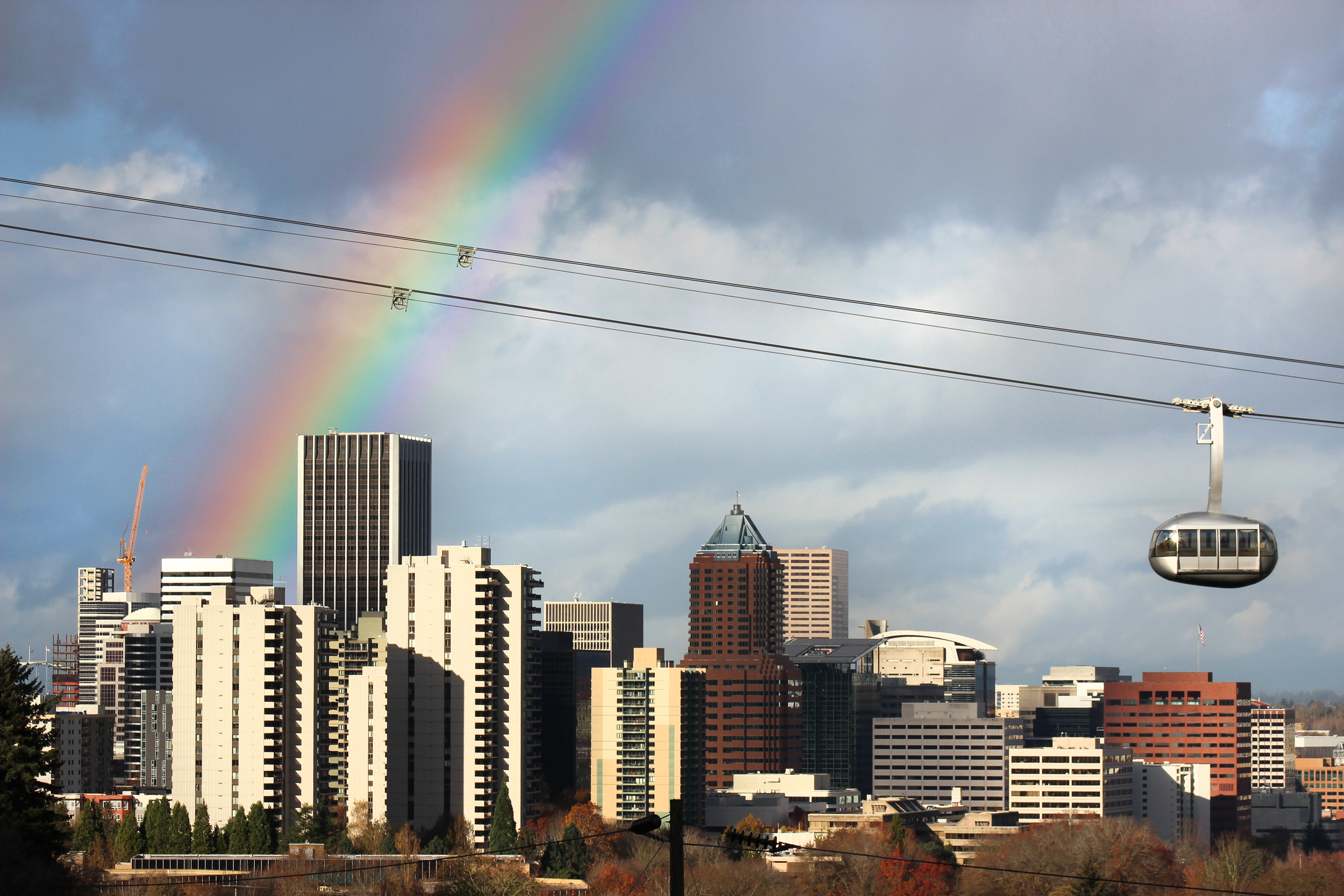
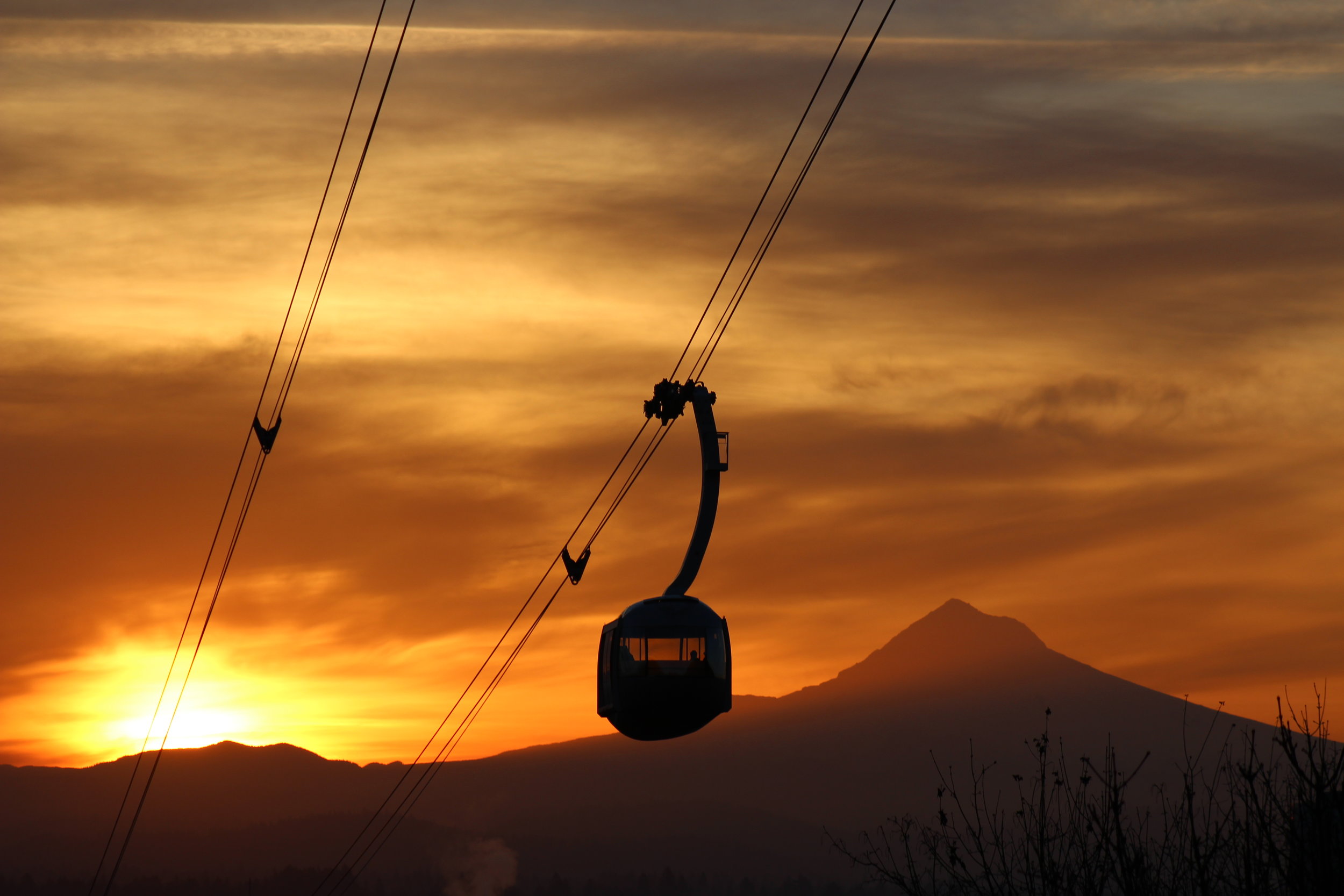
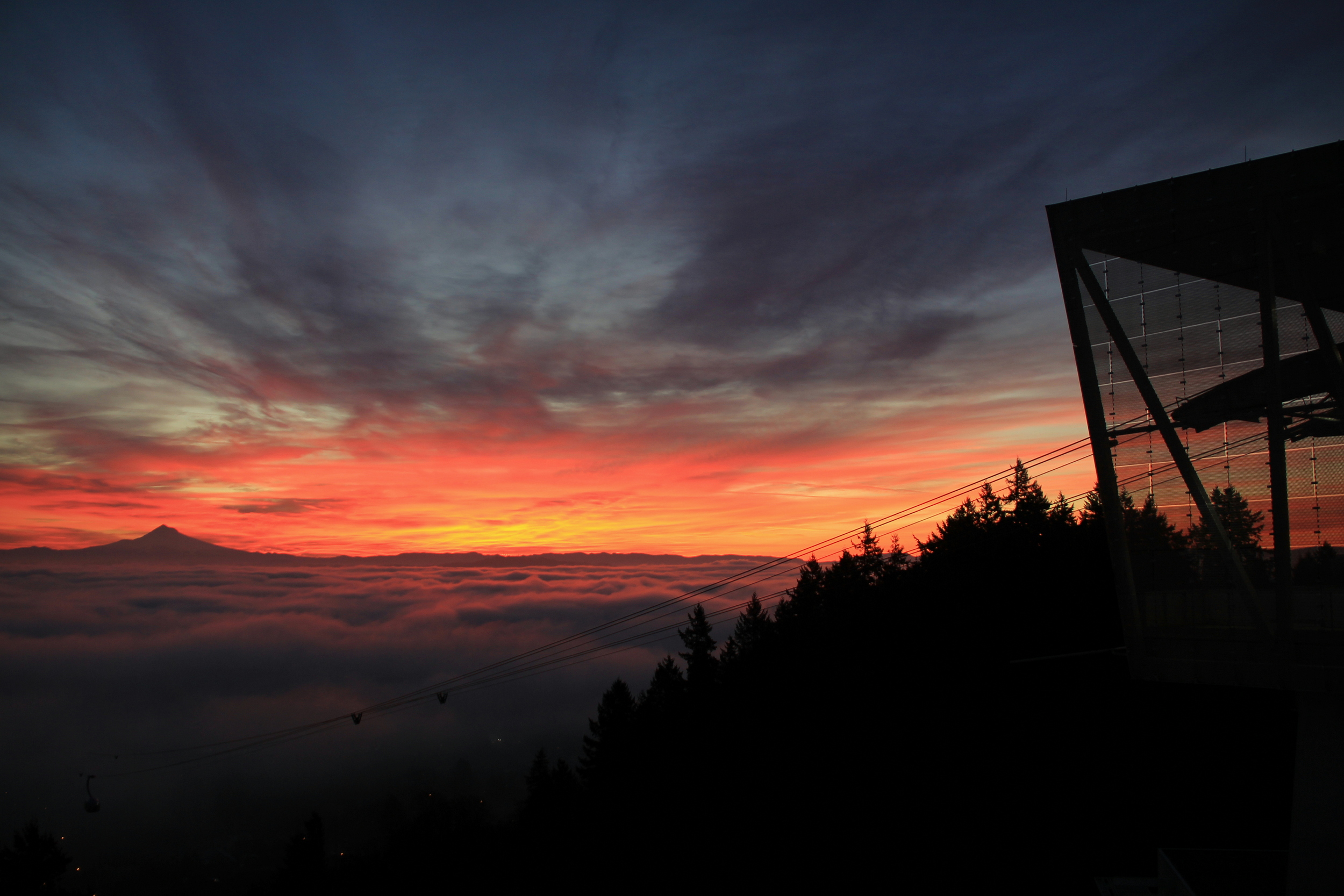
The Tram has a panoramic view of the city and surrounding region most any day or night. A colorful sunrise or sunset, while never guaranteed, is particularly scenic. To view Mount Hood and Mount Saint Helens, visit when the sky is relatively clear.
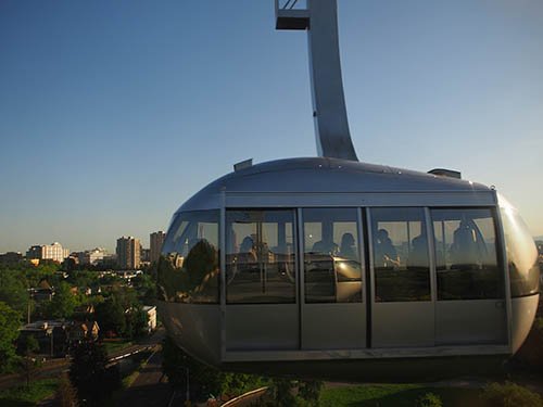
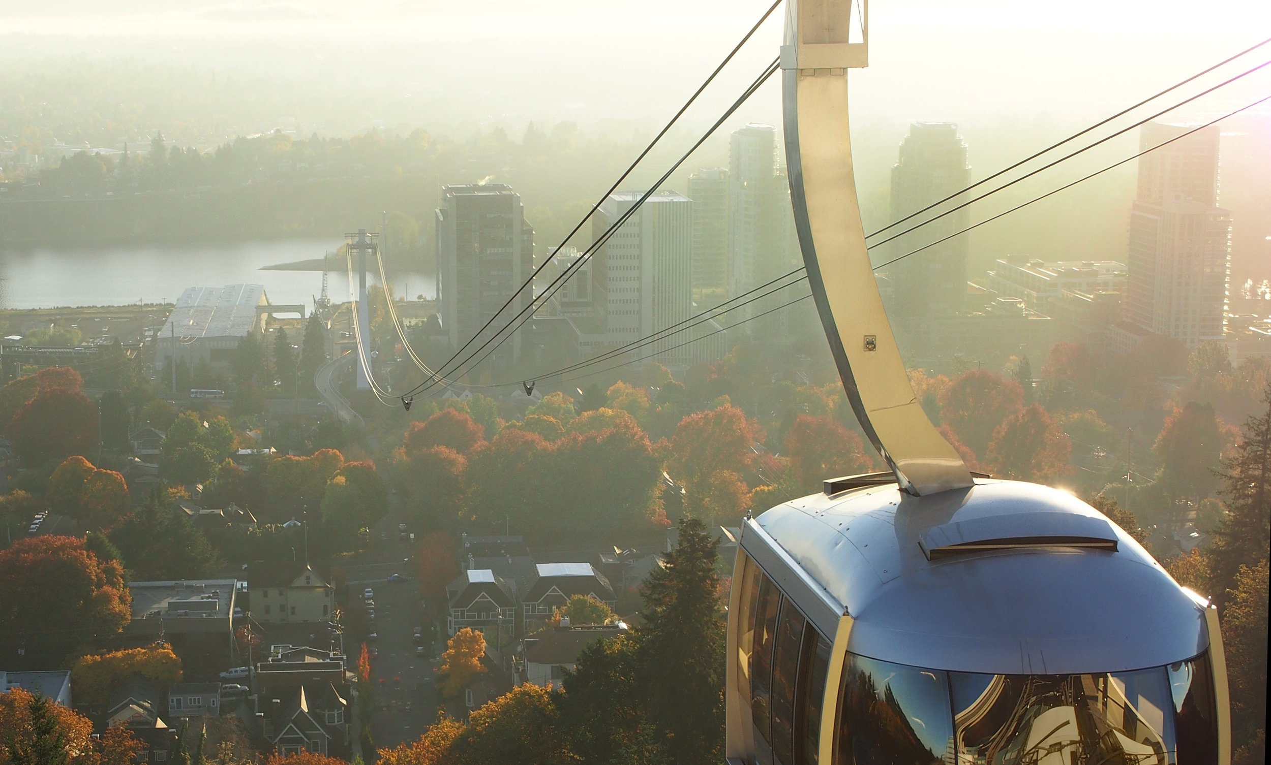
The ride experience
The Tram is a five minute ride each way, rising 500 vertical feet and traveling 3300 feet in distance. The cabin will swing slightly at the tower. For first time riders, we recommend holding a rail.
ACCESSIBILITY
Wheelchairs and other accessible devices are welcome. Each Tram has 2 seats. Before boarding, let the attendant know you would like to use a seat. They’ll help you board first to ensure seat access.
WHAT YOU’LL SEE
When the Tram is not busy, it is easy to move around the Tram and take in different views. If the Tram is busy, and you want a particular vantage point, wait five minutes for the next cabin so you’ll be front of line.
To the east: Willamette River, southeast Portland and, on a clear day, Mount Hood.
To the south: Willamette River and valley.
To the west: Marquam Hill, OHSU and other medical facilities.
To the north: Portland and, on a clear day, Mount Saint Helens.

Between rides
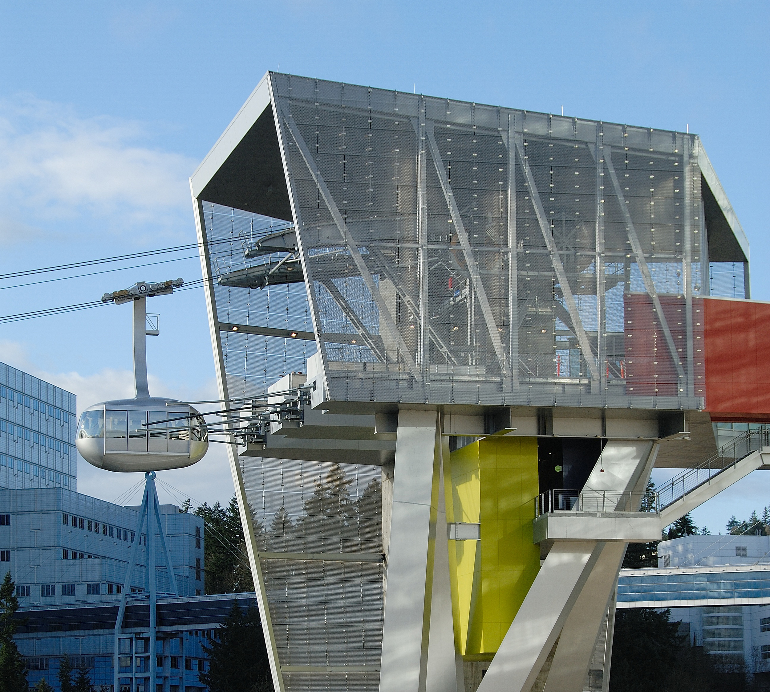
MARQUAM HILL
An observation deck adjacent to the Tram allows visitors to see the surrounding region as well as the unique, colorful design of the Marquam Hill Tram Terminal.
From the upper terminal, you can return to South Waterfront or continue exploring the area via the SW Trails, Marquam Hill Nature Park and the 4T Trail.
Learn more about the 4T Trail.
The Homestead neighborhood is located on Marquam Hill.
SOUTH WATERFRONT
The neighborhood surrounding the terminal is home to parks, several restaurants and a seasonal farmers market.
NEARBY ATTRACTIONS
Want to make the Tram part of your itinerary?
Portland by rail: All Portland Streetcar routes travel to or from South Waterfront. The streetcar loops around Portland’s central east and west sides, passing popular destinations such as Portland Art Museum, Oregon History Museum, Powell’s City of Books, the Rose Quarter and OMSI as well as numerous neighborhoods, restaurants and parks.
Washington Park: Home to several of Portland’s best known attractions.
OMSI: Oregon Museum of Science and Industry, located just over the river, or 1 mile away by transit, walking or biking.